Hi,
Am just a normal end user whch have issue as per below:
- Using QGIS ORS tools - Matrix from layers. Am trying to get the shortest path of 1500 destination from points of 6 hubs.
- Setup a local ORS using WIndows Docker and running fine with Driving Profile.
- 30 row returning NULL (6 Hubs * 5 Destination Points) in the Attribute Table result.
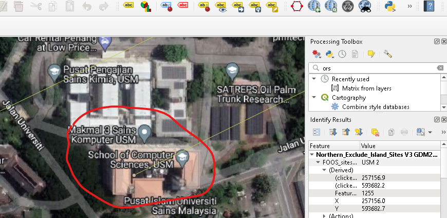
- Screenshot of one the points as per below:
Need to know why and how to fix it. Troubleshooting done as per below:
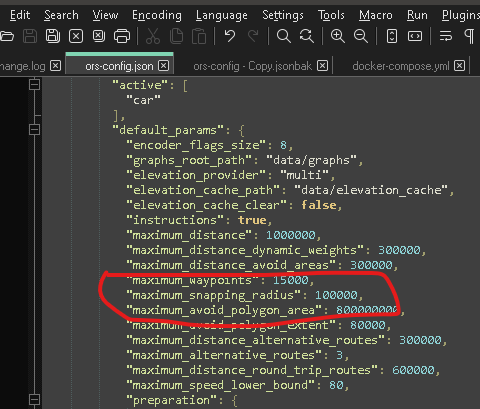
- Read in this forum that someone suggest editing Maximum_snapping_radius (Matrix API returning "Null" for multiple locations). Tried but failed.
Appreciate your guidance on this.
Hey,
this is indeed a bit strange. What osm dataset are you running on?
Could you post a failing (minimal) request as a cURL request? They should be available from the log messages panels and can easily be transformed to cURL
When using the ORS via QGIS, what is the output in the log messages panel of the ORS?
Best regards
Hi,
“What osm dataset are you running on?”
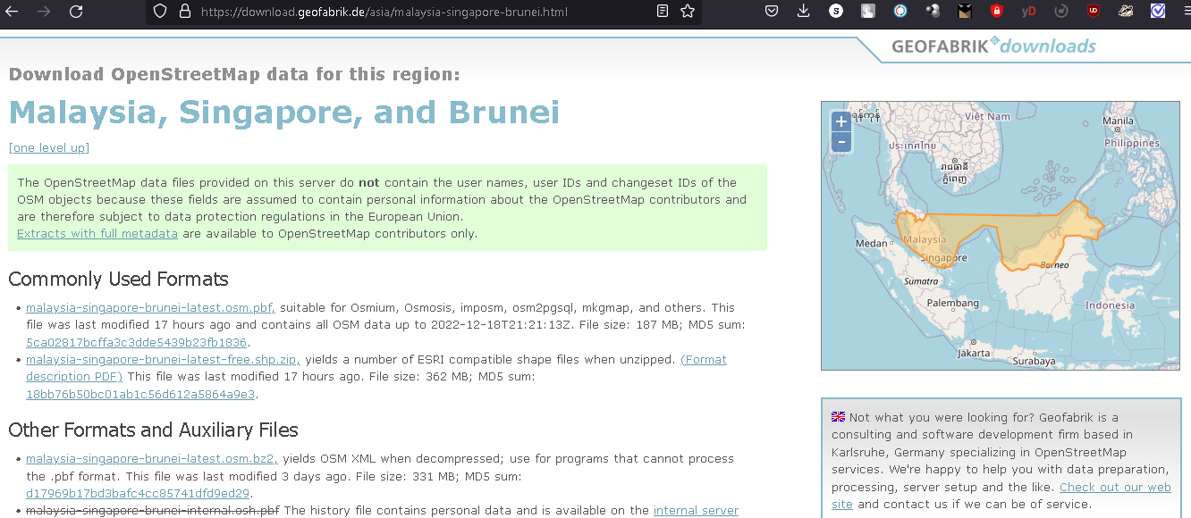
OSM dataset was downloaded from Geofabrik.de as per below:
“Could you post a failing (minimal) request as a cURL request? They should be available from the log messages panels and can easily be transformed to cURL”
Am not quite sure on how to this as am just an end user. Can u guide me on how to produce this?
“When using the ORS via QGIS, what is the output in the log messages panel of the ORS?”
Thanks for your prompt reply.
Hey,
alright, I’m assuming you’re using malaysia-singapore-brunei-latest.osm.pbf, thanks for providing.
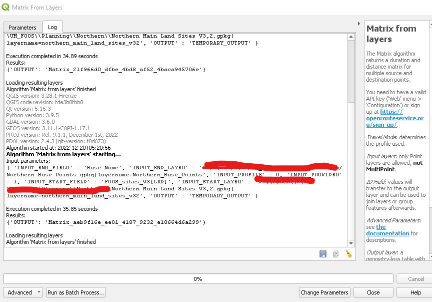
The screenshot you showed is not the log messages panel, but rather the log panel of the algorithm, which is of not much use.
Under View → Panels, you can enable the Log messages panel.
If you then run the ORS plugin, you’ll see output in the ORS Tools-tab of the new Log Messages panel.
It’s timestamped, so you can confirm that it corresponds to your latest run of the plugin.
Could you provide the output from there, preferably copy-pasted, not as a screenshot?
Best regards
Ok. But it got 45k line. I uploded it to my shared GDrive as per below. Please info if you couldnt view or copy it.
ORSLogMsgPanel
Thanks.
Hey,
you’re issuing a request with 5 sources and 1500 destinations.
It’s rather hard to debug what is going on here, and you only reported 30 empty rows.
Could you extract the sources and destinations that fail and re-post the request?
The logs should then also be less than 100 lines in length, so much more manageable.
Best regards
Hi,
Please find below the result of 5 source points to 3 fails destination points
2022-12-21T02:31:10 INFO url: http://localhost:8080/ors/v2/matrix/driving-car?
Parameters: {
“locations”: [
[
100.301433,
5.361456
],
[
100.3011509,
5.35458942
],
[
100.3055,
5.3582
],
[
100.3654538737328,
6.120923505763412
],
[
100.7404915021174,
4.854676972776785
],
[
100.40862056838324,
5.408358094266364
],
[
101.12450956899293,
4.601124101780446
],
[
100.69669259690713,
4.212302144201533
],
[
101.39182225726991,
3.923371826145491
]
],
“sources”: [
0,
1,
2
],
“destinations”: [
3,
4,
5,
6,
7,
8
],
“metrics”: [
“duration”,
“distance”
],
“id”: “Matrix”
}
Thanks.
Hey,
I used two of your coordinates([100.301433,5.361456] → [100.3654538737328,6.120923505763412]) in a directions-query, and I received that “no route was found”.
Looking at the OSM for these coordinates yields that the starting node is inside the campus of the University of Science, Malaysia.
The roads in there only seem to be connected to the public road network via roads that have gates on them with access=private or similar. The ors will not route over such gates, as the roads beyond are not accessible to the public.
I haven’t checked the other queries, but since all three starting points seem to be within this university campus, I highly suspect that’s where the issue comes from.
Best regards
Thanks for the findings.
Is there anyway to bypass the restiction (access=private) as per mentioned? Try doing this using google map direction and it do give the result. Seems google bypass the restriction.
Any suggestion are welcome.
Hey,
google maps uses different data sources than the OSM, so the restriction might not be in their data.
What the usually do with these sorts of restrictions is return a route and a warning that the route contains blocked or private roads.
We’re currently investigating whether this is something we’d like to offer as well.
When requesting individual directions, you can work around gates like these by using the skip_segments-parameter. You’d include a waypoint directly in front and behind the gate and set skip_segments such that this segment is not routed, but just connected via a straight line.
That is, unfortunately, not an option currently available for matrix.
Best regards,
Ok Understood that. Thanks for your faboulous support. Will love to see the mentioned features for matrix in the near future.
2 Likes
Hi @blackromeo,
it might be quite some time until a solution is implemented for the access restriction problem.
You can track the issue here.
Best regards