I was using the openrouteservice python API for environment modeling. During the same, I have noticed an abnormality.
Details:
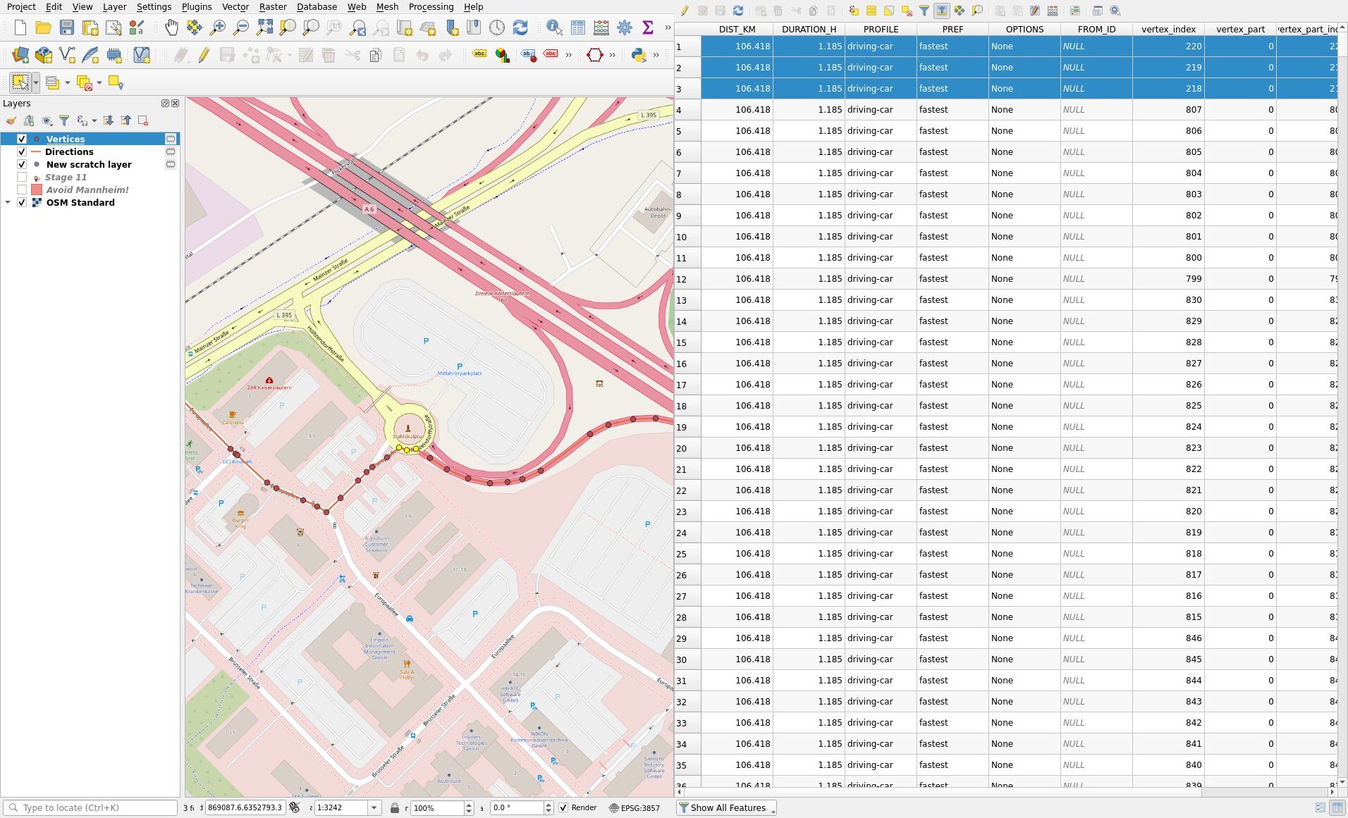
starting coordinate = [7.754228711128236, 49.42395170409275]
Destination coordinate = [8.659576, 49.875481]
In the step by step direction to the destination, steps 11 to 17 is listed below
11 . {‘distance’: 0.076, ‘duration’: 10.9, ‘type’: 0, ‘instruction’: ‘Turn left onto Europaallee’, ‘name’: ‘Europaallee’, ‘way_points’: [212, 218]}
12 . {‘distance’: 30.899, ‘duration’: 894.8, ‘type’: 7, ‘instruction’: ‘Enter the roundabout and take the 1st exit onto A 6’, ‘name’: ‘A 6’, ‘exit_number’: 1, ‘way_points’: [218, 524]}
13 . {‘distance’: 12.622, ‘duration’: 340.9, ‘type’: 6, ‘instruction’: ‘Continue straight onto A 6’, ‘name’: ‘A 6’, ‘way_points’: [524, 604]}
14 . {‘distance’: 14.858, ‘duration’: 403.3, ‘type’: 6, ‘instruction’: ‘Continue straight onto A 6’, ‘name’: ‘A 6’, ‘way_points’: [604, 717]}
15 . {‘distance’: 11.703, ‘duration’: 328.5, ‘type’: 12, ‘instruction’: ‘Keep left’, ‘name’: ‘-’, ‘way_points’: [717, 777]}
16 . {‘distance’: 24.391, ‘duration’: 673.3, ‘type’: 6, ‘instruction’: ‘Continue straight onto A 67’, ‘name’: ‘A 67’, ‘way_points’: [777, 874]}
17 . {‘distance’: 1.744, ‘duration’: 115.2, ‘type’: 13, ‘instruction’: ‘Keep right’, ‘name’: ‘-’, ‘way_points’: [874, 916]}
From step 12 it is evident that the way_points from 218 to 524 is in Autobahn A 6.
However, when I check it with the way type parameter from client.directions with extra_info=[“steepness”, “surface”, “way type”], there is some abnormality. I have shown the way types output below.
‘waytypes’: {‘values’: [[0, 56, 3],
[56, 157, 1],
[157, 202, 2],
[202, 218, 3],
[218, 220, 2],
[220, 967, 1],
[967, 980, 2],
[980, 1053, 1],
[1053, 1067, 2]],
In the output, I have marked that it says from waypoint 218 to 220, it is 2 (means Road/Autobahn) which is correct, but 220 to 967, it’s 1 (meaning state road/ Bundesstraße).
I am not able to understand why?