Hi all,
I was using your services for a while now where I’m fetching z values for polylines. During my testing phase I noticed that with a larger dataset (polyline - that contained more than 2500 points) I’ve got bad request response.
Example of the request
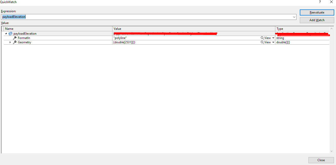
{"format_in":"polyline","geometry":[[13.331302, 38.108433], [13.331273, 38.10849]].....}
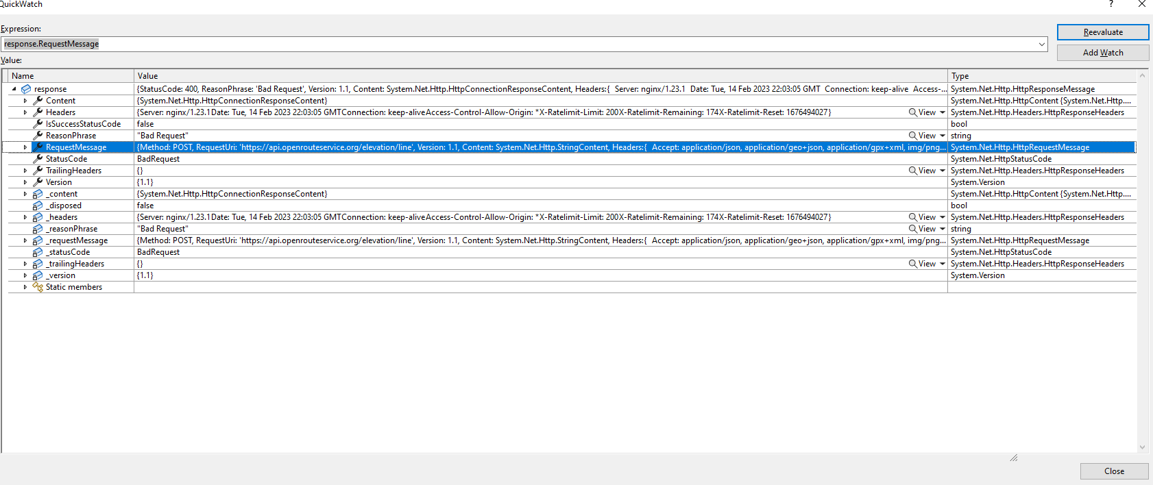
Bad request response.
As you can see in the image below:
as well as initially sent object
Similar approach as above was used, but with a bit less points (around 100) and it generated response 200 response.
What should be the correct approach here, am I using the wrong geometry type for a larger dataset or I hit the limit with the requested points