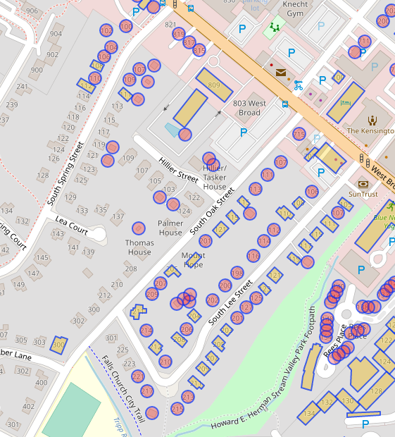
I’m a volunteer mapper outside of Washington DC. I’d like to get a collection of unknown buildings categorized. Or generally, I’d like to build routes for StreetComplete-ing.
Can I use openrouteservice with VRP to find a few routes to cover this area?
Maybe break it up into several shorter routes. Assuming I bike/drive to the area, start and stop points would be the same. Ideally I’d pick several hubs, like shopping center parking lots, and run k routes from there to cover the area.
Thanks,
Brian
PS: BTW was nice to meet Marcel and team at State of the Map US.
Hi @brian_252,
You can optimize routes for up to 50 waypoints per request and could use our ORS Tools Qgis plugin.
Regarding the how:
Using all buildings as points is a bit over the top. You could set some points manually in the streets where you want to go (e.g. 2-4 points per street, bc. if you set 1 per street the route might just make a U-turn and leave the street on the same way again.)
You would have to split your dataset into several areas and generate one route for each of them.
Of course you only optimize in that area then.
Using the optimization API might also be possible but it takes some time to get into how to do the request and set it up properly for your use case. It also hase some restrictions regarding route and vehicle numbers. Basically the route of each “vehicle” could then be a seperate run for you.
Hope that helped a bit.
Best regards