I’m trying to make an isochrone for cycling, by creating an isochrone from point and choosing a point from map canvas. The problem is that the isochrone is being created from a different point on the map, and therefore doesn’t show an accurate isochrone.
I assume this is due to the fact it’s an old military base, and so the street either doesn’t “really” exist, or has some characteristics that OSR Tools ignores, and chooses the next best spot.
How could I solve this? If I need to draw new streets, how do I do that?
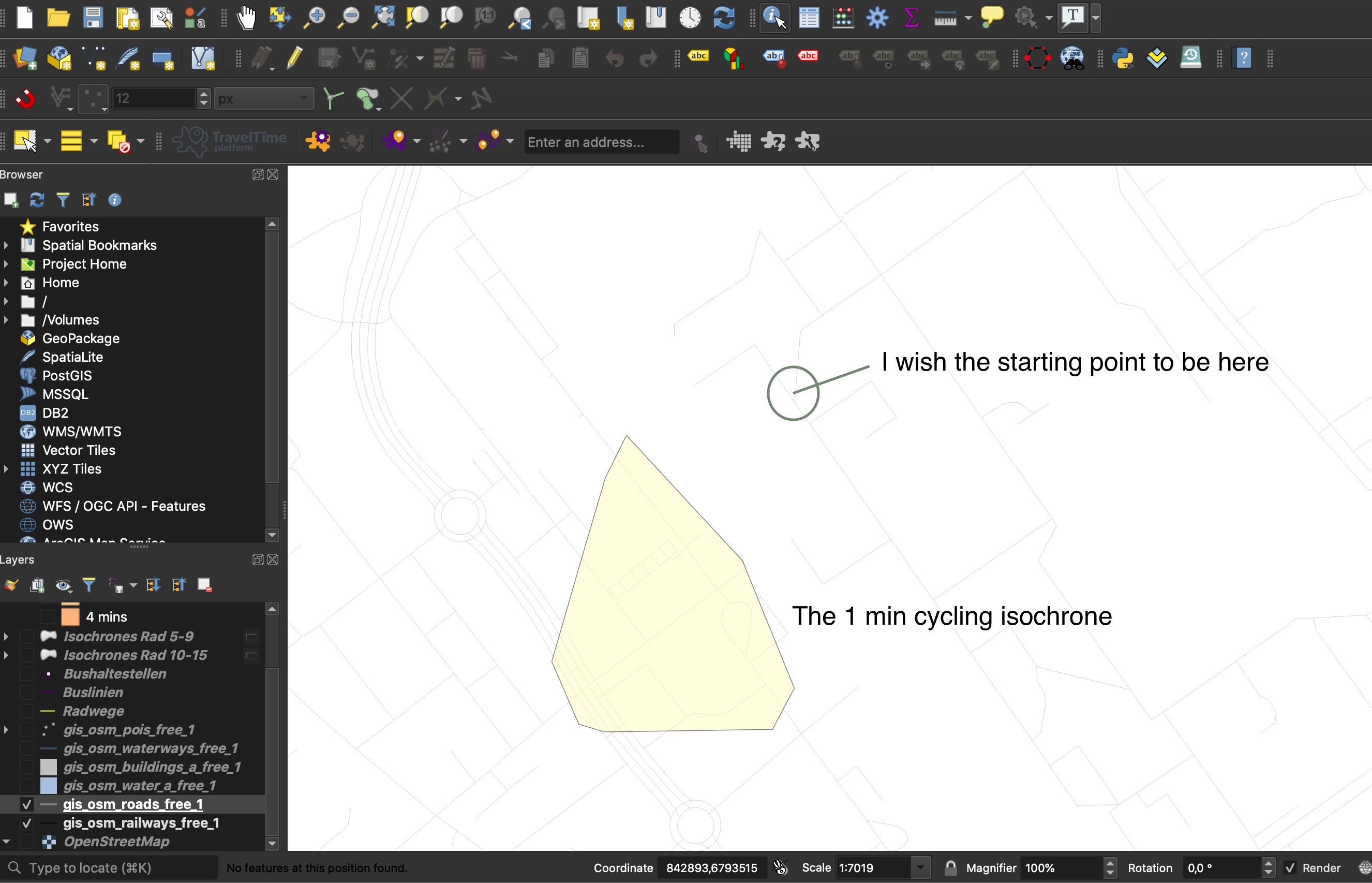
I added a picture for some orientation.
If the ways are actually missing from Openstreetmap you can do so on https://www.openstreetmap.org/ after creating an account.
If they are already existing, this is most likely a problem with access restricion tags.
Being an old military base there might be only a few conections between the outside roads. If these only have restricted access, the whole “inside” ways might not be accessible at all.
if you are adding new data be aware that it will take 1-2 weeks to be reflected in the routing graphs.
So you will see the actual effect only after that time period.
Thanks for your quick reply. I’m actually not looking to add new real data to the public OSM, but only to my file, since my isochrone analysis is for a fiction future development of the area and is only meant for demonstration purposes. Is there a way to draw those fiction roads I propose for my project somehow, or do the routing graphs pull their data from the public servers and so I cannot use the ORS Tools to make a calculation based on these own drawn roads? Sorry if I’m not using the correct language, I’m fairly new to GIS.
You could use JOSM to create your own little pbf file for your area, but you would have to setup the ORS backend using the created osm file yourself.
Then you would have to let the ORS Tools use your local backend and THEN you could use the plugin for your own data.
A bit advanced, but doable.
Best regards
PS: and yes the ORS Tools otherwise uses our API and therefore is routing on our prebuilt global graphs