Hi All,
I am currently looking into using the Direction api with the profile foot-walking and using it for routing to help visually impaired users go from point A to B.
But I then realized that I would need more hints or instructions to guide a blind or visually impaired user around the streets using additional data from POIs. (like store names or fountains or restaurants)
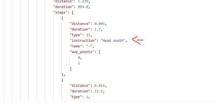
Would it be possible to add the store names inside the instruction of the Direction API for routing with the POIs they would be near to?
Because I am imagining a process would be like
Direction API > POI API (buffer 10 meters from direction API coordinates) > Direction API (put back the multiple points of the POI to Direction API)
Would you be able to advise any approach that can help me so I can provide a more detailed instruction to the users or if there are any existing services that I can look at?
Please Advise, Thank you!
