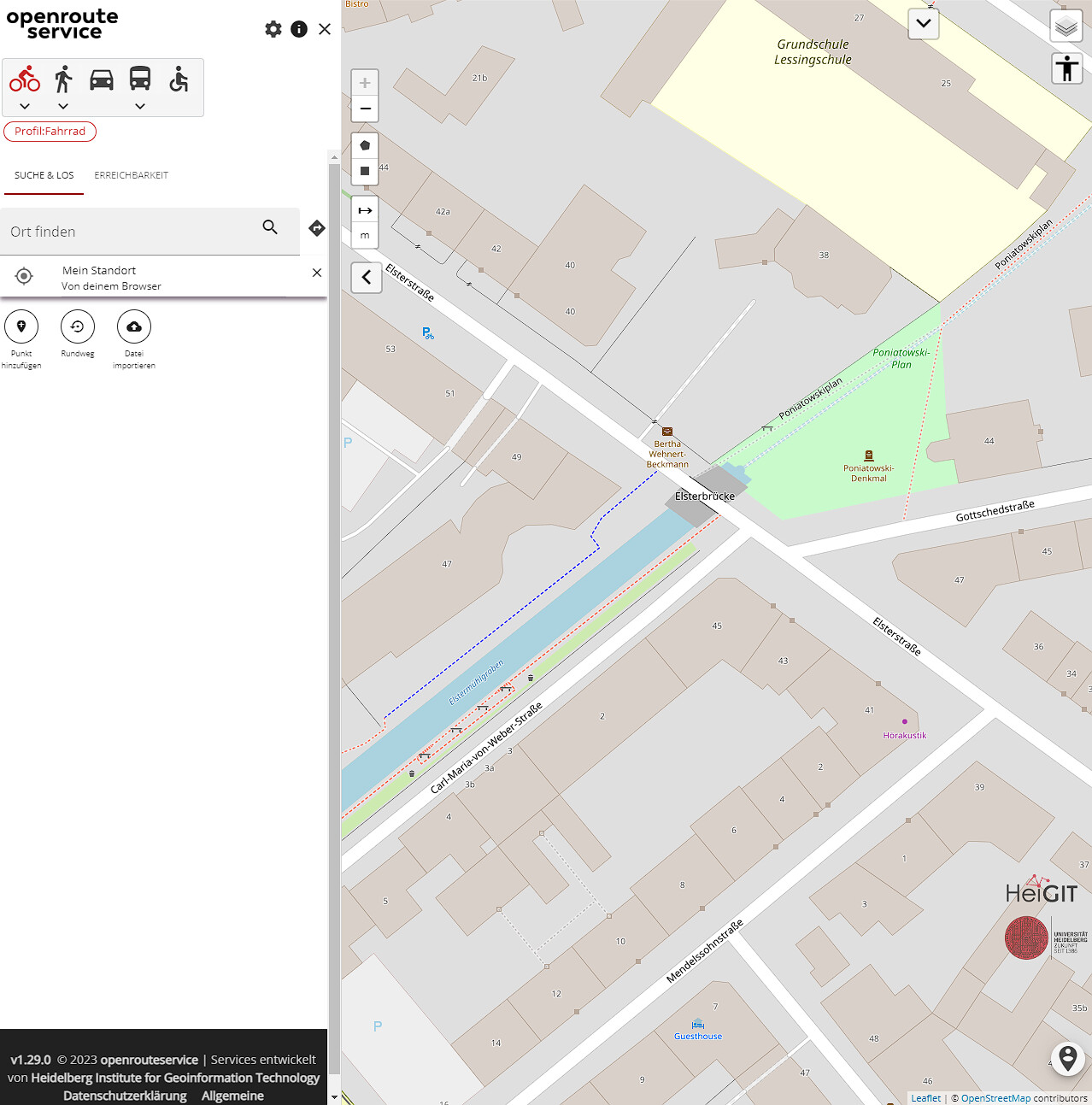
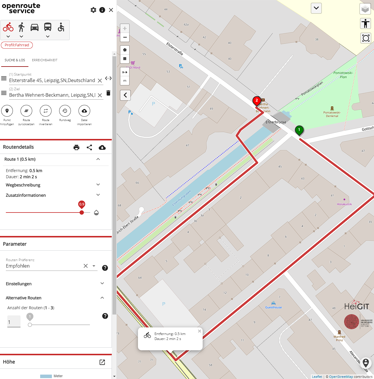
I am trying to simply cross a bridge by bike, car, bus or foot in the direction from south east to north west. The calculated route goes over a non existing bridge with a long detour. I noticed that the route over the brdige is possible wheelchair and with all vehicles vice versa (north west do south east). I can not see a reason for this issue.
I cannot reproduce you statement that “the route over the bridge is possible with […] all other vehicles vice versa”.
The bridge in question has changed its tagging from highway:construction to highway:residentialrecently, so expect these changes (and the route being routeable) in the next few weeks.
Apart from that, there’s an issue with the wheelchair profile disregarding construction sites.
Hope that gives a reason for this issue,
best regards
correct is that status of highway has changed recently. The rendered tiles show a usable bridge and not a bridge under construction. In addition the calculated route crosses the creek over a non-existing bridge. That’s why I wonder whether data used for route calculation differ from shown data (tiles). Who can the age of the used data for route calculation and map be found out?