Do you want the graphical display of the elvation profile, or just the information stored on the route?
You could just use our API to get the information.
(The information you want is not there when you draw a path manually in the interface.
It comes from OpenStreetMap and is saved on the road-network-graph generated from it.
Once you request a route, the openrouteservice API gives you back the information only for the currently taken path.)
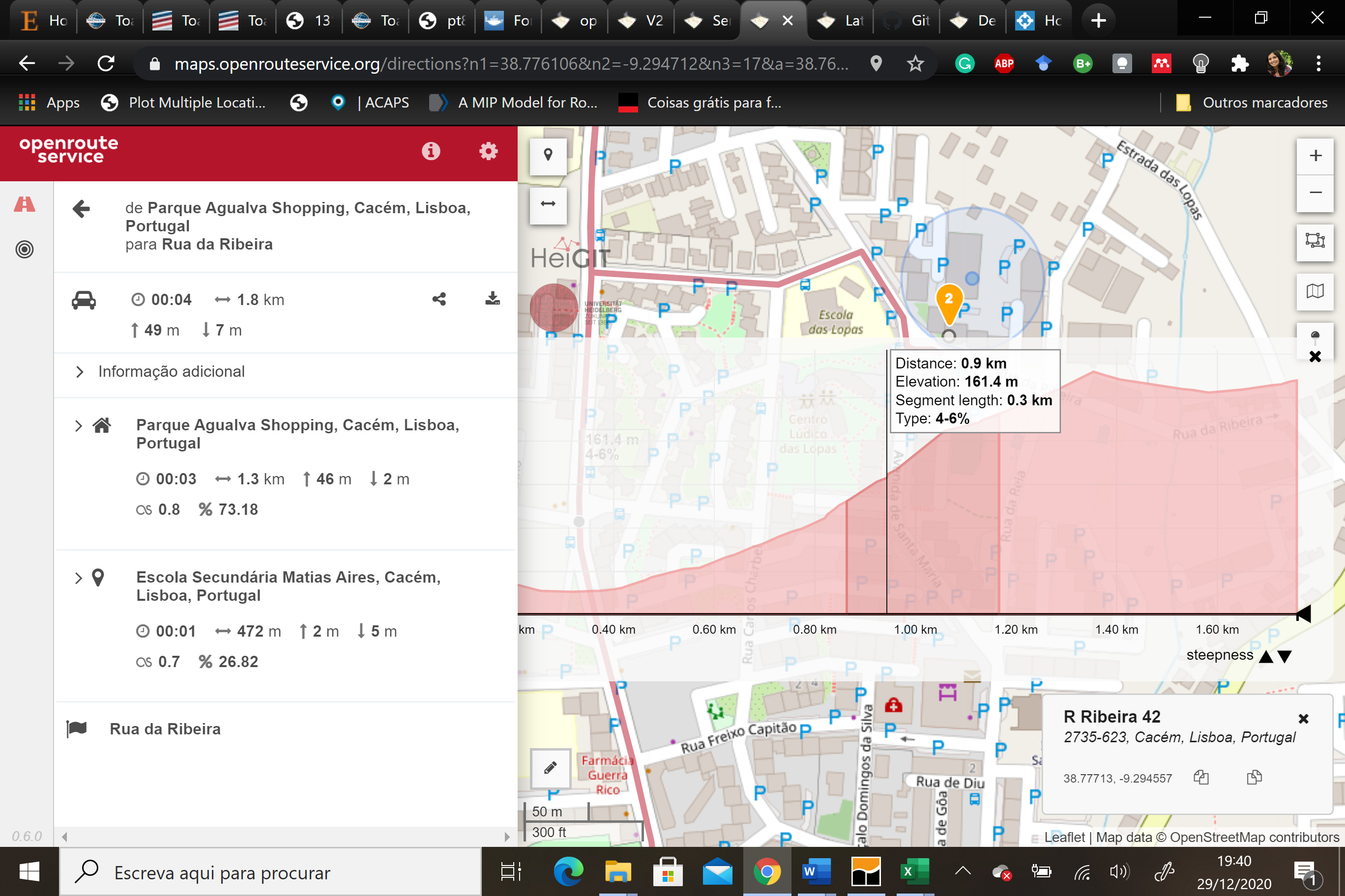
I want the information, particularly knowing the steepness in each part of the path. The objective would be to test different models to determine CO2 emissions. In box in the image I would like to have access to all segments, to know their lengths and the “type” which I assume to be the steepness.
Yes, you can just use the API for that (create an ORS account and generate a free API key to use it).
You might have to calculate the distances by yourself though as it is only returned for each segment and not for every waypoint.
Here you can see how it is done for every node of the route on the maps.openrouteservice.org website in javascript using the turf library
A similar approach can be used in different programming languages.
No, I never got the time to finish it as I changed projects. I got some ideias for workarounds, but I haven’t checked if the approach proposed works and did not implement my workarounds.