Hi @SMOKE,
we are using OpenStreetMap data.
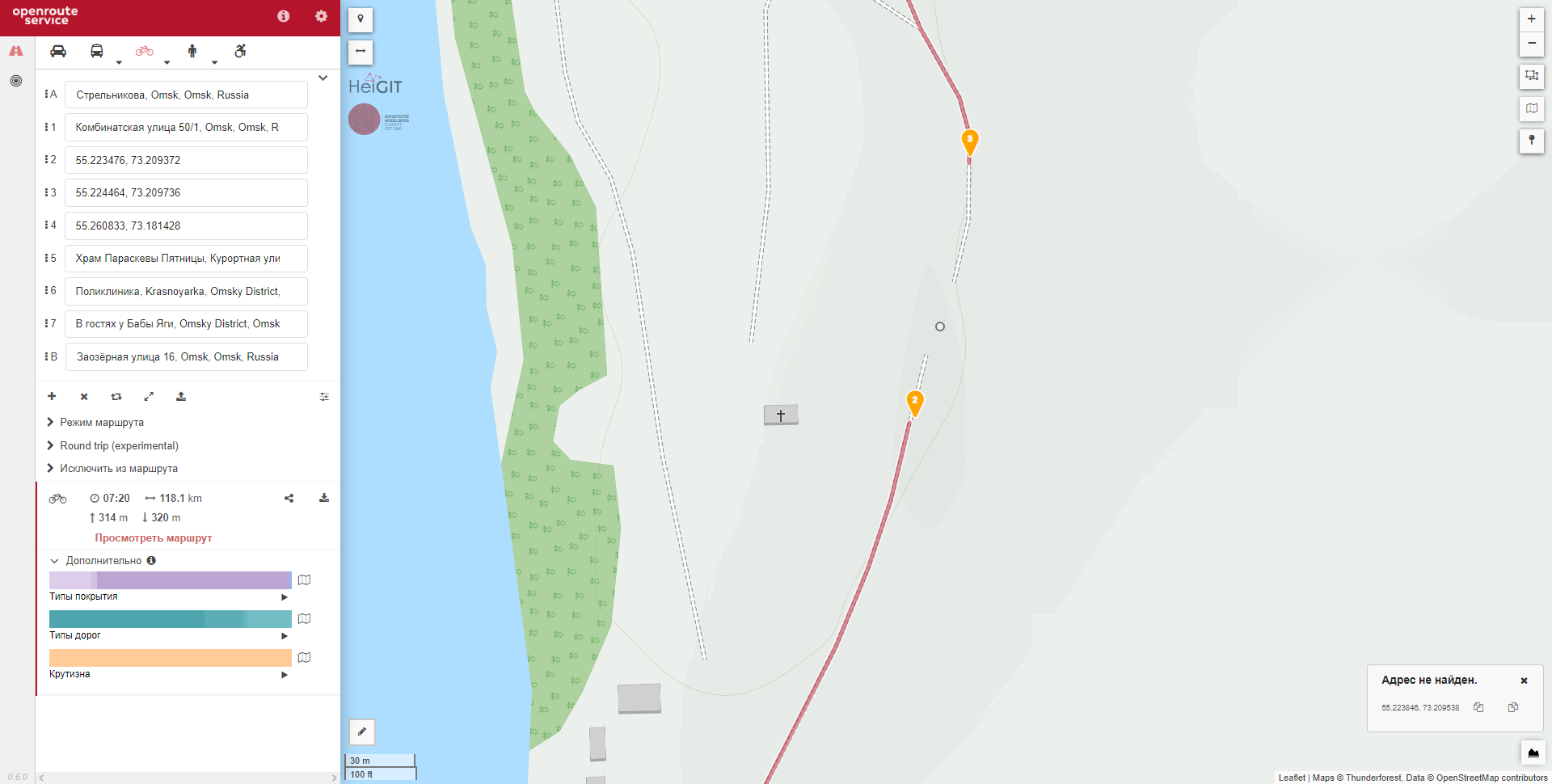
If you know that there is a way, you can correct it in OSM (need an account)
It will take up to 2 weeks to be reflected in our routing graphs.
For now you could skip that segment by using a direct waypoint:
Best regards