Hello ![]()
I am trying out a local openrouteservice setup in order to compare the reachability of areas by car, walking and public transport.
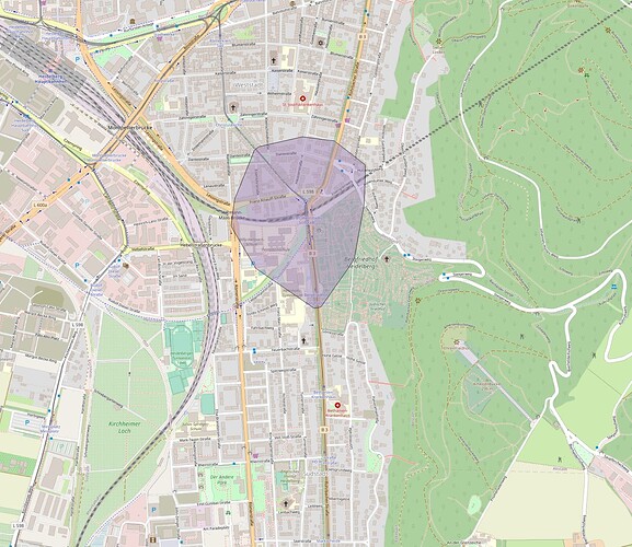
So far so good, the isochrones for the car and public-transport profiles deliver plausible results. However, the isochrones for public transport do not make sense. For testing puropses, I tried to calculate a 5 minute isochrone from the station Heidelberg Weststadt/Südstadt with the VRN GTFS dataset from VRN und RNN GTFS-Sollfahrplandaten aktuell | VRN Open Data (the testing dataset from git seems to be broken, ors and unzip both complained). The result is an isochrone that is the same as using the walking profile. Stations that are reachable within 5 minutes by tram (like Bethanien-Krankenhaus) are not covered by the polygon.
Did I miss something when setting up my docker instance? Or is something missing from my query?
I will post my query and config files later, unable to post it right now due to the forums spam blocker.
Thanks in advance ![]()
Lukas
