Hi everyone,
I am new to openrouteservice and I love it.
I had a problem with my sample data.
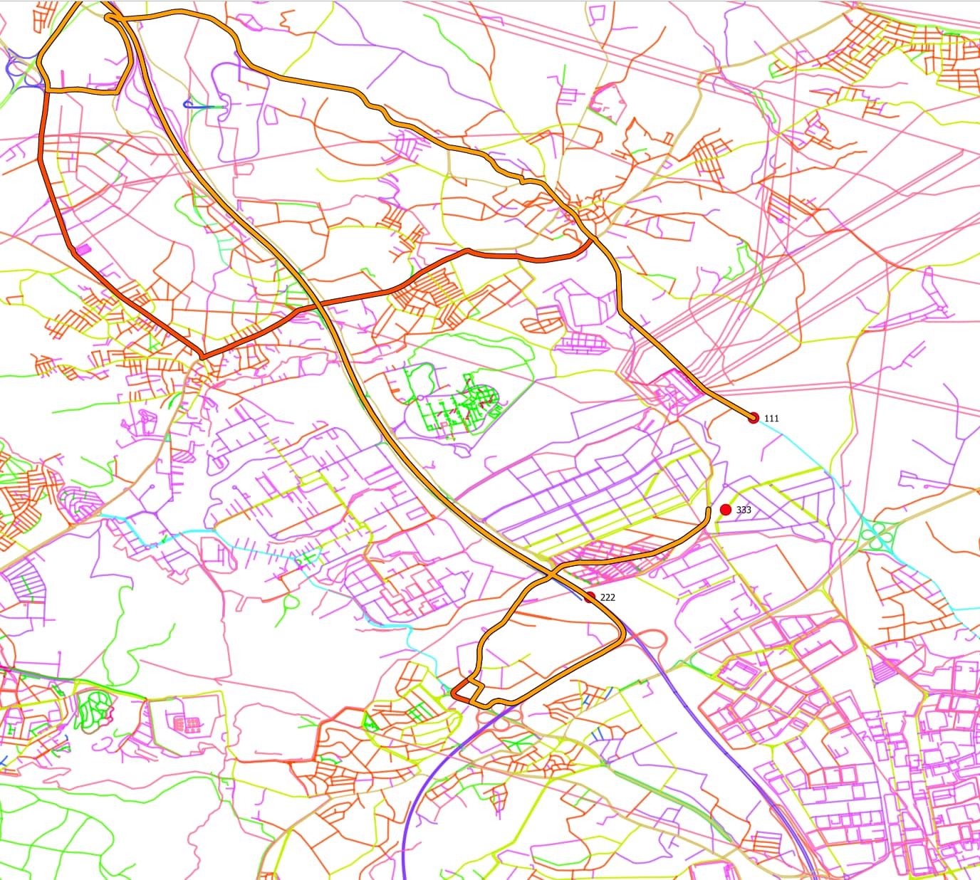
If you check the attached image, you will see that:
- colorful thin lines as osm data used in openrouteservice,
- Thick red and orange lines as fastest and shortest routes,
- red dots with labels as 111,222,333 as the points to be visited with order 111,222,333.
The problem is -as u can see in the screenshot- the routing is not following the shortest path from point 111 to point 222. there are roads visible in the picture.
Is there any filtering on usage of road data in openrouteservice such as “use only highways” or “no secondary roads are allowed”?
Best Regards.