I’m using the new maps client, and am trying to compare route times and lengths.
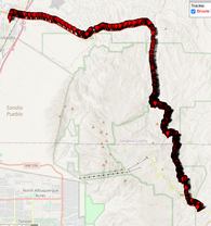
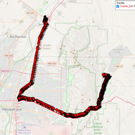
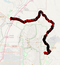
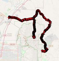
In my test case, there is the long way around on highways, or the short way over a mountain road. The client will let me route a bike over the mountain road, but not a vehicle, even though I know for a fact that the road is passible.
I have tried the example on the openrouteservice.
I have downloaded the ors-map-client, and done: npm run dev
Both bring up the GUI, but does not let me route properly.
I was recently told:
“The client is responsible for sending the parameters/filters according to what is supported by ORS API. In this case, the restriction is related to the routing engine (our API) and not the client. So I guess you would have to run a local instance of our back-end/API in order to achieve your purpose”
I have the local server installed and running, and am able to perform a ‘distance’ request.
However, I have been unsuccessful in connecting the maps client to the local server.
I would appreciate direction on the missing piece.
Thanks