Hello everyone. When I put a point on a location in the graphical web interface, my point moves and the polygon moves too and is built along the way. Questions:
- Why does this happen?
- Is it possible to build a polygon relative to my location as I want and not have it shift to determine total_pop? For example, when I set the location, it did not move and the polygon was built relative to its center in different directions, for example for 1 minute of time? Is it possible to do this via api?
Thanks for the previous reply!)
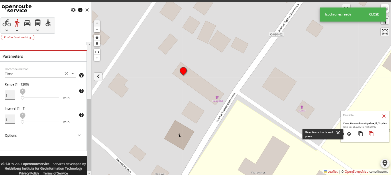
here is the photo -
1 image is how I set the cursor
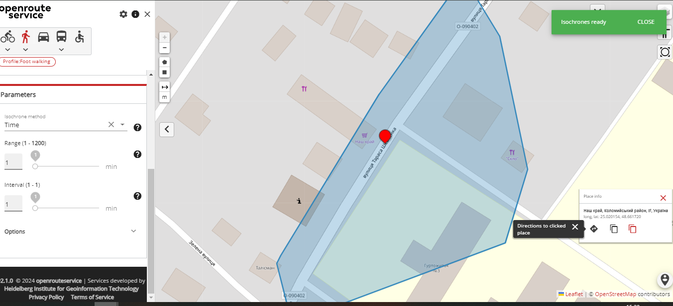
2 image - how it moves
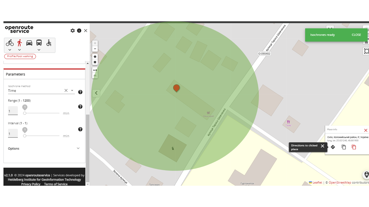
3 image - I would like to know the population in this area so that the radius from my place that I insert shows the population (api - total_pop).
That’s because the startpoint is snapped to the road network (as that’s where you ususally would like to calculate the reachability from.
The population is always only available for the generated polygons. You can’t get population data for a custom area.
So you definitely need to look into point 2 of my previous answer.
Best regards