Hello,
I found that elevations returned by the directions endpoint are inconsistent.
For example if I compute the directions for two segments:
- segment1 = [pointA, pointB]
- segment2 = [pointB, pointC]
then pointB elevation is different for each response
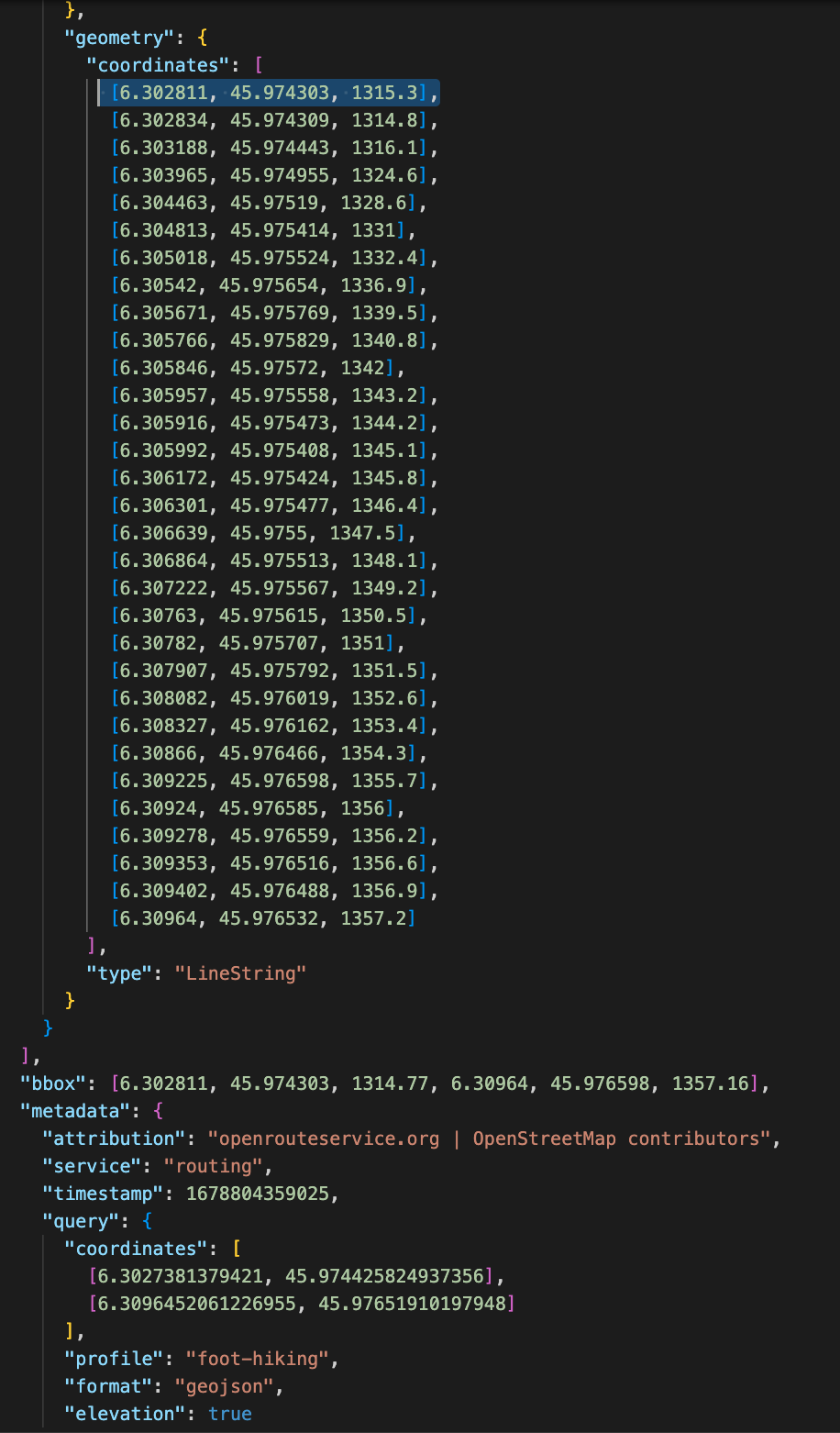
Here is a real example where:
point B = [6.302811, 45.974303, 1284.2] in segment1
point B = [6.302811, 45.974303, 1315.3] in segment2
Screenshots (i can share the exported .geojson):

Any idea why this is happening, is this considered a bug or by design?
Context:
In my app I started doing some optimisation for drawing paths: instead of querying the entire path upon adding a new waypoint (using all the waypoints), I only query the path between the previous waypoint and the new waypoint, then merge the result. This merged result then has jumps in elevation due to the mentioned issue.
Thanks for your help!
Louis