has anything changed recently (about a month) in the route calculation algorithm (road bike)?
Or is it coming from the OSM data not being up to date for the road surface?
Because recently I’ve edited several routes with my editor based on the Openroute API and the road uses gravel portions that are difficult to ride with a road bike (route in France).
I have updated the OSM data for some of the sections used.
Apart from that, it works very well and Openroute is the most efficient routing service I’ve tested and use.
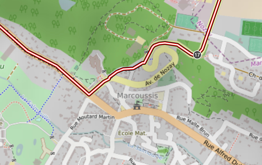
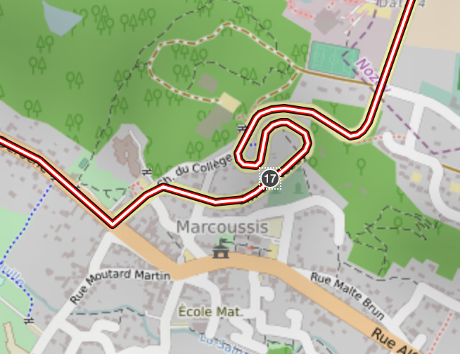
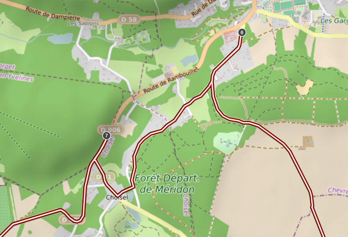
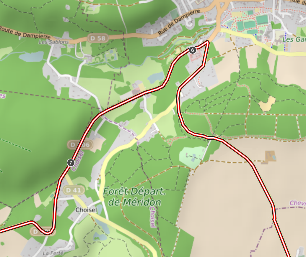
Before these changes, I recorded a track with the points (recommended, cycle route) for which the calculated routes between the points were indeed the desired route:
But now I have to move some points.
In particular n°7 and n°17. For the 17, the right and main road is “Ave de Nozay”.
The shotest way “Chemin du Collège” is good for mountain bike, but not cycling road wich will always take the main road.