Hi,
I’m using openrouteservice for all my routing (bike, motorcycle and car). I find it very good and it has all the information needed (at least for me).
Currently I’m in Nice, France and riding some climbs here by bike. I did notice that the elevation gain on some routes differ strongly with the results on my garmin where as others are more or less equal.
I added two screenshot for a route where the evelation gain differed for about 600m. So I don’t know which one is correct but would like to know how this difference is coming about. I do not think that this it is an OSM subject, since Komoot also has an Elevation gain of 1370m for that route and they are using OSM as well.
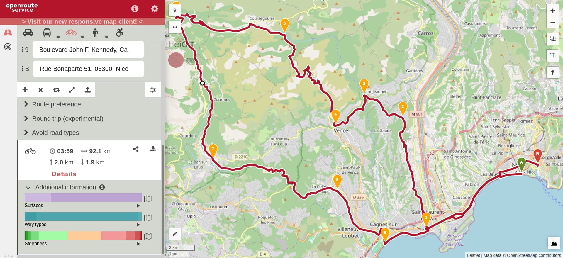
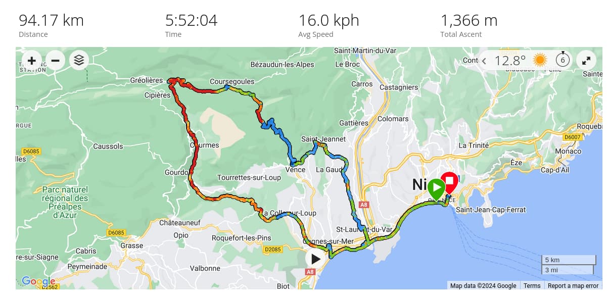
If needed I can supply the gpx route.
Cheers
Noel.