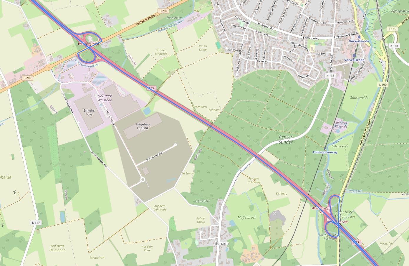
I’m new to ORS and am currently trying to reconstruct truck routes based on GPS data. I have noticed differences in the route lengths. In order to investigate this in more detail, I had the routes displayed with Folium. I noticed that sometimes U-turns are made within the route due to the GPS jitter, which cause a significant increase in the distance traveled (see attached image).