Car Profile gives forbidden Route

Hello,
when navigating through my home town I noticed that ORS gives a route through the forest which is forbidden to take for cars. Below you can find the corresponding link:

https://maps.openrouteservice.org/#/directions/Ebersgöns,HE,Germany/Abt-Möhler-Straße%2026,Butzbach,HE,Germany/data/55,130,32,198,15,97,4,224,38,9,96,59,2,24,5,192,166,6,113,0,184,64,14,0,232,3,96,1,128,78,1,25,136,6,128,86,83,8,5,142,129,153,91,160,110,35,139,184,143,203,212,100,192,19,0,118,82,77,200,129,162,2,0,7,84,240,34,38,195,148,0,47,40,1,109,114,85,107,62,116,8,0,205,224,1,183,75,132,44,104,240,1,185,32,14,96,22,140,50,104,50,65,31,66,125,52,116,68,48,43,60,0,200,109,109,64,216,116,88,16,0,95,56,160,0,0

The route does not go through the forest when the mode is set to truck, however it takes detours then.
Is there a way to solve it?
Thank you!

Hi @PeterDieter,
It seems there is no restriction in the underlying OpenStreetMap(osm) data.
If there are vehicle restrictions, they need to be added in osm for openrouteservice to take them into consideration.

Best regards

Hi Amandus,

thank you for your quick answer.
OSM gives a correct route. Or am I missing something else?

This is due to different speed limits for tracks tagged with grade that are defined in the
VehicleFlagencoder.

The OSRM router would for example also use the street if you want to route through this part of the forrest

However, there should be either some adjustments with the speeds or a functionality that fixes this usecase. Would you mind opening a bug report with a detailed description of the problem?

Best regards

1 Like

Hello Amandus,

you wrote:

“It seems there is no restriction in the underlying OpenStreetMap(osm) data.”

I planed same route with ORS and the engine uses highway=track.

In Germany highway=track means, that the track is forbidden for cars. So there would be no other restriction for those tracks in the OSM-Data.

I have tested same route for car and search for the shortest way. Nearly every route is broken, because it uses restrected tracks. In one case it uses a track, that would damage your car.

Best regards
Baebbie

Hi @Baebbie,

Could you please provide an official reference please? (Or any other place where you got this from)

As regards OSM:
Although there is a value destination set for the germany default access restricitons this is flagged as proposal.
An implementation in that direction would make sense, but i’m not sure about the implications of tagging all tracks of this type with destination during the building of the graph on performance and storage size.

Please provide examples of actual routes and your expected results (or directly file an issue if you already know it’s a bug).

Best regards

Here ist one example
https://maps.openrouteservice.org/#/directions/Gm%C3%BCnder%20Weg,Heubach,BW,Deutschland/Alleenweg,Heubach,BW,Deutschland/data/55,130,32,198,15,97,4,224,38,9,96,59,2,24,5,192,166,6,113,0,184,64,78,0,233,240,21,128,102,0,24,203,63,0,152,1,96,17,130,218,7,96,3,132,128,105,239,112,214,1,179,180,22,86,153,94,28,200,6,226,42,64,109,82,245,240,176,27,223,61,30,124,57,215,171,209,167,58,181,24,9,5,196,4,0,14,169,224,68,77,135,40,0,94,80,2,218,228,106,204,197,232,16,1,155,192,1,183,69,193,5,134,135,128,3,114,64,7,48,5,163,6,70,133,49,6,247,69,247,70,135,68,67,6,11,196,192,0,177,128,196,197,65,0,5,243,42,0

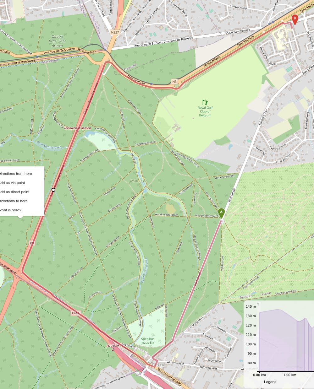
The direct route have an barrier. In this case the router use an other track to get behind the barrier and route over the forbidden track.

The Problem in Germany is, that some mapper adds acces restrictions on highway=track other does not. You can read this in the german wiki of osm.

https://wiki.openstreetmap.org/wiki/DE:Tag:highway=track

In the region I live, most highway=tracks have not restriction flags.

I hope this will help you. I don’t now much off ORS (and my english is realy worse), I’m only a user. I saw the problems, because I’m a OSM-mapper.

Have a nice day
Baebbie

This is an other example:

https://maps.openrouteservice.org/#/directions/Hauptstra%C3%9Fe,T%C3%A4ferrot,BW,Deutschland/Burgklinge,G%C3%B6ggingen,BW,Deutschland/data/55,130,32,198,15,97,4,224,38,9,96,59,2,24,5,192,166,6,113,0,184,64,78,0,232,0,224,13,128,6,98,5,96,17,128,118,82,1,101,46,227,242,174,128,105,30,36,171,72,12,205,88,185,58,229,242,52,96,27,136,177,58,52,106,212,151,64,19,62,82,53,39,117,230,70,177,21,226,42,85,45,68,39,16,16,0,58,167,129,17,54,28,160,1,121,64,11,107,134,169,115,151,160,64,6,111,0,3,110,139,130,11,13,15,0,6,228,128,14,96,11,70,12,141,6,98,3,238,135,238,141,14,136,134,2,23,137,128,1,99,1,137,138,130,156,136,17,141,2,131,105,30,128,15,171,224,10,226,91,138,10,132,147,30,138,143,89,4,216,134,83,130,174,104,84,144,215,236,134,10,131,11,142,72,69,226,0,14,238,143,3,16,83,209,53,51,51,131,72,72,192,11,232,116,0,0

A part off the route has grade 3 and you can’t pass it with a car and all of the ways are not allowed for cars.

Sorry for the second post, but I’m a new user, so I can only use two links in an reply

Hi @Baebbie,

ors is basically supporting the first statement of the german wiki entry

Bei der Frage, ob access-Attribute an highway=track ausdrücklich erfasst werden müssen, stehen sich im Wesentlichen zwei Meinungen gegenüber.

Einigkeit besteht zwischen beiden Meinungen, dass für Feldwege in Deutschland kein generelles Fahrverbot für private PKW besteht, wogegen bei Waldwegen das Befahren mit KFZ grundsätzlich für den öffentlichen Verkehr untersagt ist. Die Konsequenzen, die daraus gezogen werden, sind aber unterschiedlich:

    -> Weil highway=track nicht zwischen Feld- und Waldwegen unterscheidet, und damit nicht klar ist, auf welchen Wegen auch öffentlicher KFZ-Verkehr stattfinden darf, geht eine Meinung davon aus, dass access-Attribute ausdrücklich zu vergeben sind.

    Eine andere Auffassung ist unabhängig von den unterschiedlichen rechtlichen Regelungen zum Befahren von Feld- und Waldwegen der Meinung, dass KFZ grundsätzlich nicht über Feld- oder Waldwege geleitet werden sollten und sieht deshalb auch keine Notwendigkeit, access-Attribute zu setzen. Diese Auffassung hält access-Attribute an highway=track aber nicht für fehlerhaft.

As we don’t only support routing in germany, and the default wiki page for tag:track also states:

highway=track does not imply any particular access=* value. Default access restrictions are country specific and depend on ownership, land use and other factors. If you have local knowledge or can do a survey to obtain ground truth, adding explicit access tags is recommended. 

So basically we rely on the data having access tags as track does not distinguish between forest and field.

I know this can be frustrating, if you live in a region where all of the routes are not correct.

However, there is a current discourse from the State of the Map conference, where it is suggested for OSM to automatically add country specific restrictions to tracks if no value is given, because many routing engines do not respect the country specific restrictions.

So sadly this issue currently is not high priority for us, as it might be fixed within OSM itself.

Best regards

I could not identify a segment with grade 3 on this route? Could you point me to the OSM id?

The maximum grade allowed for cars is grade 3.
if you take a look at the osm wiki, this should in no way be a road that damages your car.

If it does, i suppose it is tagged incorrectly.

Of course this can always happpen and is also why we (and no routing engine) guarantees the correctness of the route.
The result always has to be viewed with the aspects of open data in mind (and common sense. I remember a case of someone driving straight over an elevated roundabout, because his navi said so … :man_shrugging: ).

Best regards

Hello Amandus,

thank you for spending so much time in this.

I saw that you route only until grade3.

When I talk about my region I thought of south germany. I’ve planed only short routes, so you can see the problem directly.

I can understand your problem with the missing acces tag in germany and it is not yours to change the osm data. But you should recognize, that we talk about thousand my be millions of tracks, that have to be corrected. Until that osr, may route car over forbidden ways in (south) germany.

Finaly I must say, that the problem must be solved in OSM, it should be clear if the acces tag must be set or not, even if this causes a lot of work.

At the end I want to say, that I like OSR realy. I planed my walking and biking tours with it and the results are realy great.

Best regards

2 Likes

Another example of illegal forest roads:

The used roads in the routing solution

" /way/97836486#map=16/50.8090/4.4874
" /way/409836304
are tagged with motor_vehicle = no, so cars are forbidden and the routing should not use these?

(I know that the starting point is in a one-way street, and thus complicating the solution)

Hey,

I’m a bit confused about your question - this is the result I get from the first link in your question, using the car-profile.

I doesn’t seem to me like this is using any of your mentioned roads?

Best regards

Hi, I get now also this correct result. The illegal shortcut with the mentioned roads is no longer used. It seems someone did already some corrections in the routing engine. Problem solved!

1 Like