In connection with the planning of my cycling trip in Denmark 2018, I used openrouteservice.org with Opencyclemap overlays. By choosing a bike in your program I got a good track that followed the international cycle route. I could then simply pull the track manually to follow other roads, paths, tracks etc. This went well with all visible paths, roads.
I therefore got a nice experience after an easy planning.
You could draw the track as in Google Mymaps where there is only a little white dot no VIA mark.
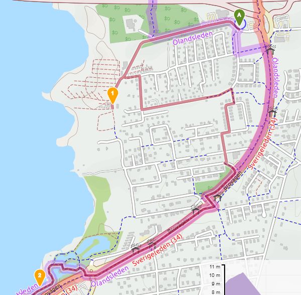
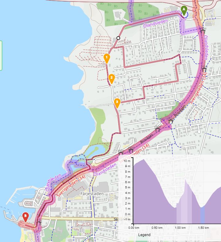
As you can see now you can cycle between VIA 1 and VIA 2 but not on to VIA3 without detour !? From VIA 3 it suddenly manages to follow a blue path, not before but can not follow purple Ölandsleden !?
Is it possible to get to the old version from 2018?
OK you have the “Sverigeleden” Sweden cycle path as a competitor and it goes smoother but still I can’t get it to go via tracks that are possible as before.
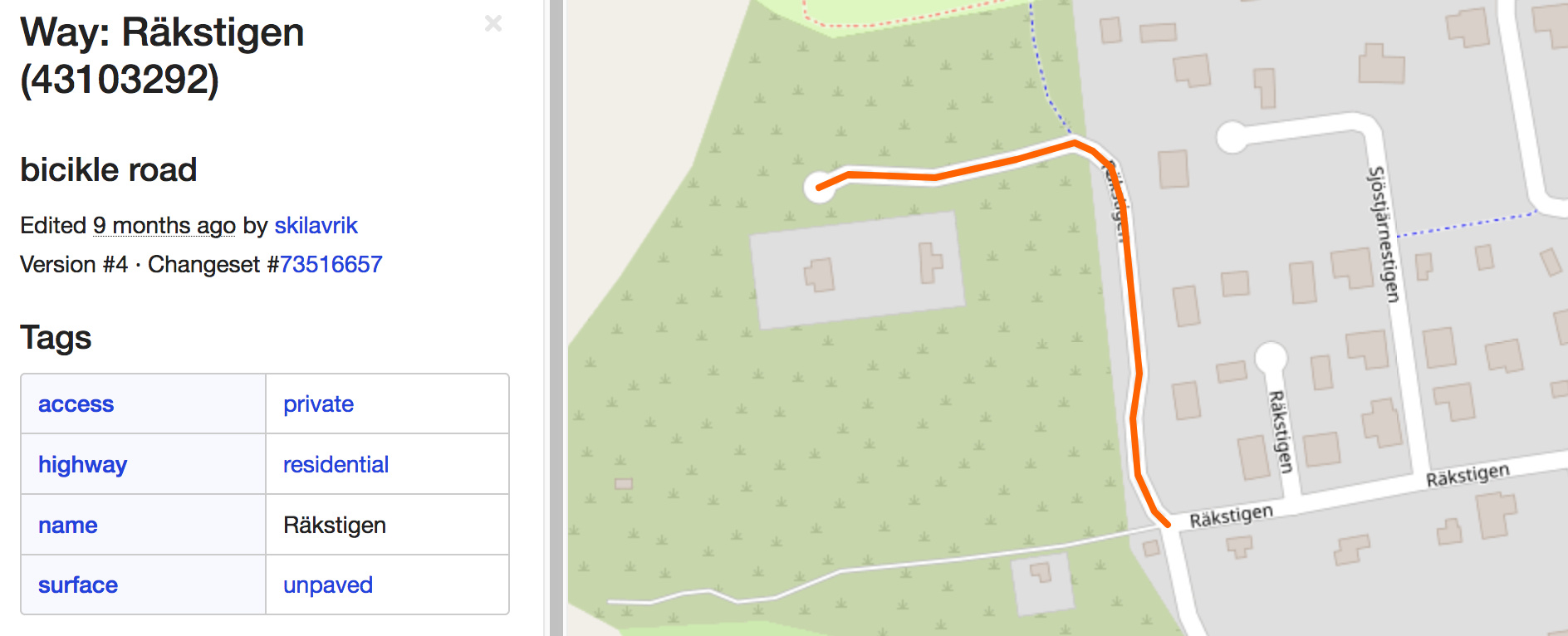
Thanks for your prompt reply! This doesn’t seem to be a problem with our routing engine but rather an OSM data issue caused by a road segment tagged with access:private.
OK. Typical me to end up on such a road. Is it the same private road in picture near start? Otherwise everything seems to work again. Probably sat for two hours and complained that it did not follow paths etc.
I have also restarted my browser.
Is it possible to use your software version 2018?
How can I my self get this road information?
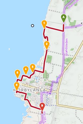
I continue now
Big thanks for your support !
Unfortunately, we don’t support previous releases on our public maps client. If you wish to use an older version of ORS you would need to run it locally on your computer, possibly with OSM data back from 2018 if this is what you are interested in. For details see here.
Re the OSM road data, you can view it on opestreetmap.org website by right-clicking the map and choosing Query Features.
 !
!