I’m hosting my own ors instance and use it for requesting isochrones. Now I’m facing two issues:
Some profiles like “cycling-electric” lead to a status 500 error response. Profiles like “driving-car” seem to work fine though. Even though my request has the “total_pop” attribute, the response doesn’t return it.
that’s probably an issue with your configuration.
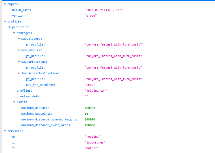
Check if localhost:8082/ors/v2/status shows cycling-electric in the profiles (adjust port if needed).
Regarding population data see:
That’s more or less what you need to do, but we currently don’t have documentation for that yet.
The correct location in the new ors-config.yml is probably endpoints.isochrones.statistics_provider (in yaml format instead of dot notation ofc).
Thanks for the help @amandus! Using your advice, I could address the issue regarding the missing profiles. Next, I will try your solution regarding the configuration of the population layer.
has anyone yet successfully implemented the population on a self hosted instance using docker compose and can share their approach ?
I wasn’t yet able to implement the github solution provided by elpaso.
Greetings
Florian
Hi there! Thank you very much for this solution. I managed to follow it through however I am using the .env file for the config and when I set the parameters for the statistics providers (somewhat guessing the format by reading this) I cannot manage to get the docker compose up and running. On start up I get the following error:
2024-08-08 19:16:36 ors-app  |  java.base/java.lang.Thread.run(Thread.java:1583)
2024-08-08 19:16:36 ors-app  | 2024-08-08 17:16:36 ERROR                                                 main [ o.s.b.d.LoggingFailureAnalysisReporter   ]
2024-08-08 19:16:36 ors-app  |
2024-08-08 19:16:36 ors-app  | ***************************
2024-08-08 19:16:36 ors-app  | APPLICATION FAILED TO START
2024-08-08 19:16:36 ors-app  | ***************************
2024-08-08 19:16:36 ors-app  |
2024-08-08 19:16:36 ors-app  | Description:
2024-08-08 19:16:36 ors-app  |
2024-08-08 19:16:36 ors-app  | Failed to bind properties under 'ors.endpoints.isochrones.statisticsproviders.enabled' to org.heigit.ors.api.EndpointsProperties$EndpointIsochronesProperties$StatisticsProviderProperties:
2024-08-08 19:16:36 ors-app  |
2024-08-08 19:16:36 ors-app  |     Reason: org.springframework.core.convert.ConverterNotFoundException: No converter found capable of converting from type [java.lang.String] to type [org.heigit.ors.api.EndpointsProperties$EndpointIsochronesProperties$StatisticsProviderProperties]
2024-08-08 19:16:36 ors-app  |
2024-08-08 19:16:36 ors-app  | Action:
2024-08-08 19:16:36 ors-app  |
2024-08-08 19:16:36 ors-app  | Update your application's configuration
The portion of my ors-config.env file related to the isochrones looks like this: