Hey,
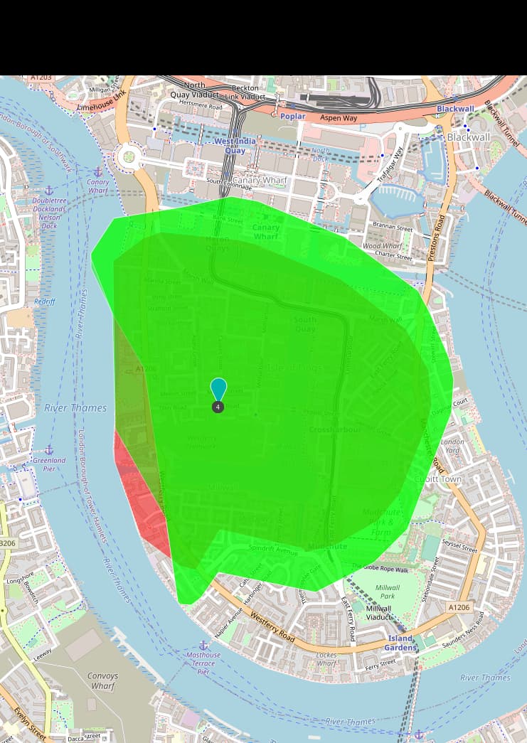
this has to do with how the polygon is being created from the actually reachable points on the road network.
This issue has a brief explanation.
This will even lead to different isochrones if different distances with intervals are requested, that result in the same “partial” isochrones. In the following, a 1km, the 1km of a 2km and the 1km of a 4 km isochrone is shown:
I have opened an issue about this, feel free to follow the discussion there.
Best regards