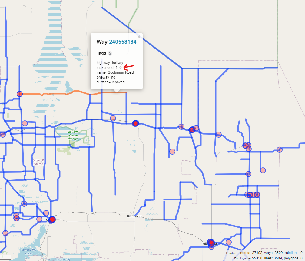
I just did a bit more reading and found on #1165 that the maxspeed tag provided on OSM is used as first priority and that the surface and road type defaults are only used if the maxspeed isn’t provided (second priority).
Annnnd, this explains pretty well why I’m not seeing changes in the route durations/distances.
I think I need to do a bit more investigation then on why source-A to destination-B is pinned by Google Maps as being something like a 5 hour drive, but then the output I’d get could be something like 8 hours… I’d need to figure out if they’re picking the same route, and if not why not.
I do distinctly remember running a few examples of Google Maps vs ORS and seeing that the distances were really close on matching routes (as you’d expect), but the duration estimates were always overestimated by sometimes 30%+.
Is there anyway I can play around with the internal speed factor in CarFlagEncoder.java?
I’ve seen it’s set to 5, but I don’t know what the 5 means - as in what moving it to 4 or 6 would actually do? Is there any documentation surrounding that?